Urbanism
Our approach to urban design and master plans, always begins with understanding what came before. We start every design with a historical analysis, this forms the foundation of our work.
By studying old maps, archival material, and the existing urban fabric, we identify the constants within a place: landscape features, movement patterns, and spatial proportions that have proven resilient over time. Especially in the Caribbean context, landscape is a defining factor. That is why we also analyze natural waterways, elevation changes, wind direction, and sun paths from the very start of the design process. By mapping the landscape in three dimensions, we gain insight into how buildings, public spaces, and routes can be positioned in harmony with the terrain. This helps us anticipate sightlines, pedestrian flows, and water drainage, and supports climate-resilient design. Our design always take the environment, nature and existing routes into account, without disrupting them too much.
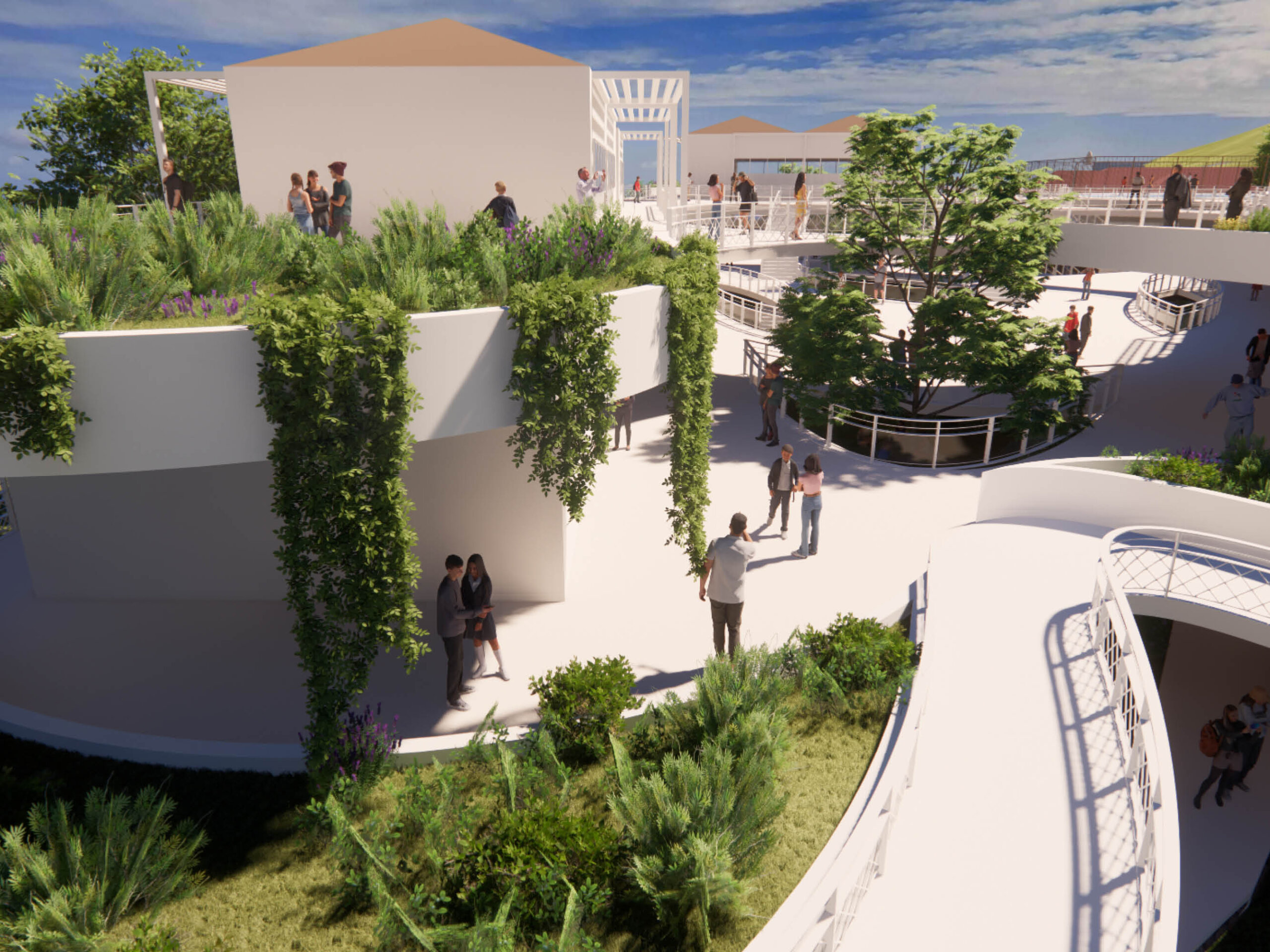
Next, we conducted a spatial analysis to examine the accessibility of the area. Both on foot and by car, while also considering sightlines. This is being researched from all kinds of angles and scales. With every project, we also conduct studies into human interaction with the site as well. Understanding local culture starts with observation and engagement. In our urban design work, we study how people live, move, and interact within a space. We engage with local communities to understand their hopes for this area. By aligning social patterns with spatial structures, we create urban plans that feel integrated, purposeful, and responsive to their surroundings. For some projects, we’ve initiated a more intensive participatory process with stakeholders, residents, and users. By doing so, we ensure that public spaces, green areas, and necessary amenities respond to both social and environmental needs.
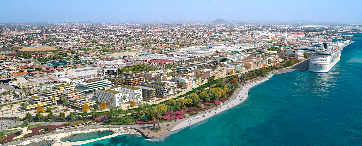
Based on the historical and spatial analysis, we develop a proposal for the site’s layout, tailored to the location, culture, and existing laws and regulations. The client will receive all of our studies and gets a complete overview of development options for the site.
Our approach to urban design and master plans, always begins with understanding what came before. We start every design with a historical analysis, this forms the foundation of our work.
By studying old maps, archival material, and the existing urban fabric, we identify the constants within a place: landscape features, movement patterns, and spatial proportions that have proven resilient over time. Especially in the Caribbean context, landscape is a defining factor. That is why we also analyze natural waterways, elevation changes, wind direction, and sun paths from the very start of the design process. By mapping the landscape in three dimensions, we gain insight into how buildings, public spaces, and routes can be positioned in harmony with the terrain. This helps us anticipate sightlines, pedestrian flows, and water drainage, and supports climate-resilient design. Our design always take the environment, nature and existing routes into account, without disrupting them too much.
Next, we conducted a spatial analysis to examine the accessibility of the area. Both on foot and by car, while also considering sightlines. This is being researched from all kinds of angles and scales. With every project, we also conduct studies into human interaction with the site as well. Understanding local culture starts with observation and engagement. In our urban design work, we study how people live, move, and interact within a space. We engage with local communities to understand their hopes for this area. By aligning social patterns with spatial structures, we create urban plans that feel integrated, purposeful, and responsive to their surroundings. For some projects, we’ve initiated a more intensive participatory process with stakeholders, residents, and users. By doing so, we ensure that public spaces, green areas, and necessary amenities respond to both social and environmental needs.
Based on the historical and spatial analysis, we develop a proposal for the site’s layout, tailored to the location, culture, and existing laws and regulations. The client will receive all of our studies and gets a complete overview of development options for the site.